Topographic / Land Surveys
A topographic survey, also referred to as topographical survey, land survey or detail survey, provides a measured depiction of an area's terrain, natural and manmade features, along with associated levels, to a stated accuracy.
These geospatial surveys are used by architects, designers, engineers and building contractors to help create appropriate designs and plans, based on the existing site. They enable others to visualise and accurately measure aspects of the site from an office or other remote location.
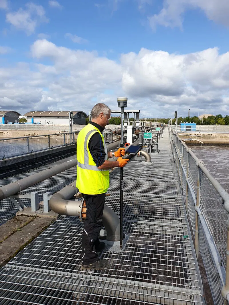
RK Geomatics use robotic total-station survey instruments and RTK GNSS (fancy, survey-grade GPS) from industry leading manufacturer Trimble, to carry out our topographic surveys. Coordinated measurements are digitally recorded for office-based processing and drawing production using specialised land survey, digital terrain modelling, and CAD processing software.
Topographic surveys may vary in complexity, depending on the requirement of the client and project; this could range from coordinating a basic set of levels on a drainage system, through to a comprehensive survey of a built-up area, where the detail survey would pick up all required natural and man-made features, including associated levels, along with 3d ground elevations and contouring where appropriate.
Land surveys are normally referenced to the Ordnance Survey grid and level, using network GNSS.
Results of our other services, such as a full utilities survey, specific pipe or cable location, GPR surveys, or as-built survey can all be incorporated with the topographic survey if required.

My usual area of operation for typical one-day topographic surveys is Mid & West Wales - Ceredigion, Carmarthenshire, Pembrokeshire, Powys, Gwynedd, Dyfed, Brecon, Snowdonia and along the M4 corridor through Swansea, Port Talbot, Bridgend and Cardiff.
With larger, multi-day surveys, I am happy to travel further afield and throughout the UK